- English
- Español
Languages:
This site is created using Wikimapia data. Wikimapia is an open-content collaborative map project contributed by volunteers around the world. It contains information about 32936123 places and counting.
Learn more about Wikimapia and cityguides.
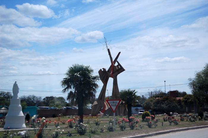
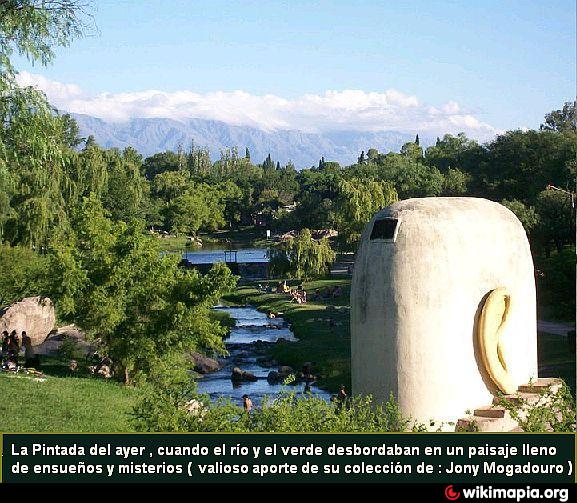
Villa Dolores
Es la mayor ciudad del valle de Traslasierra
W WW.CUMBREAVENTURAS.COM.AR
Villa Dolores on the map.